WHY LINEINTEL
Built for the way utility work actually gets done.
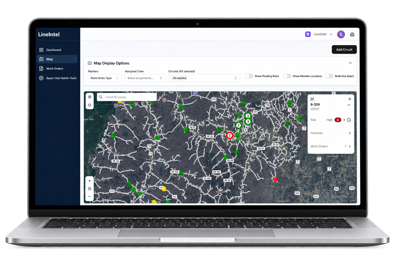
LineIntel brings infrastructure data, priorities, field execution and operating history into one environment—so utility teams can see the work, focus resources and keep office and field connected.
Start with Command and local field imaging. Add richer intelligence over time.
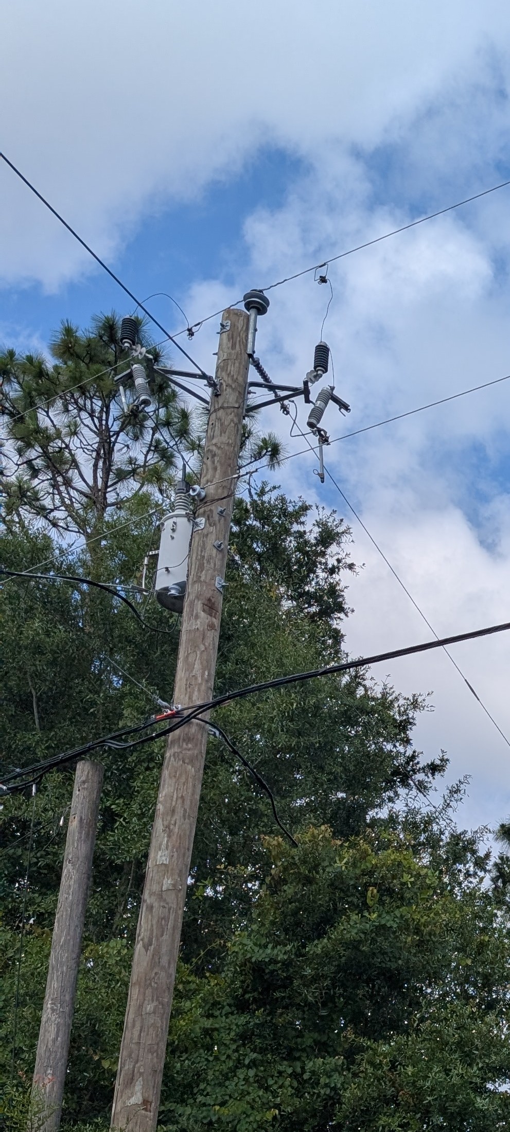
 From local observation
to coordinated field action.
THE LINEINTEL ADVANTAGE
One operating environment.
From system view to field action.
Utilities already have maps, shapefiles, work records and institutional knowledge. Command connects those inputs with the people doing the work, making them useful in everyday operations.
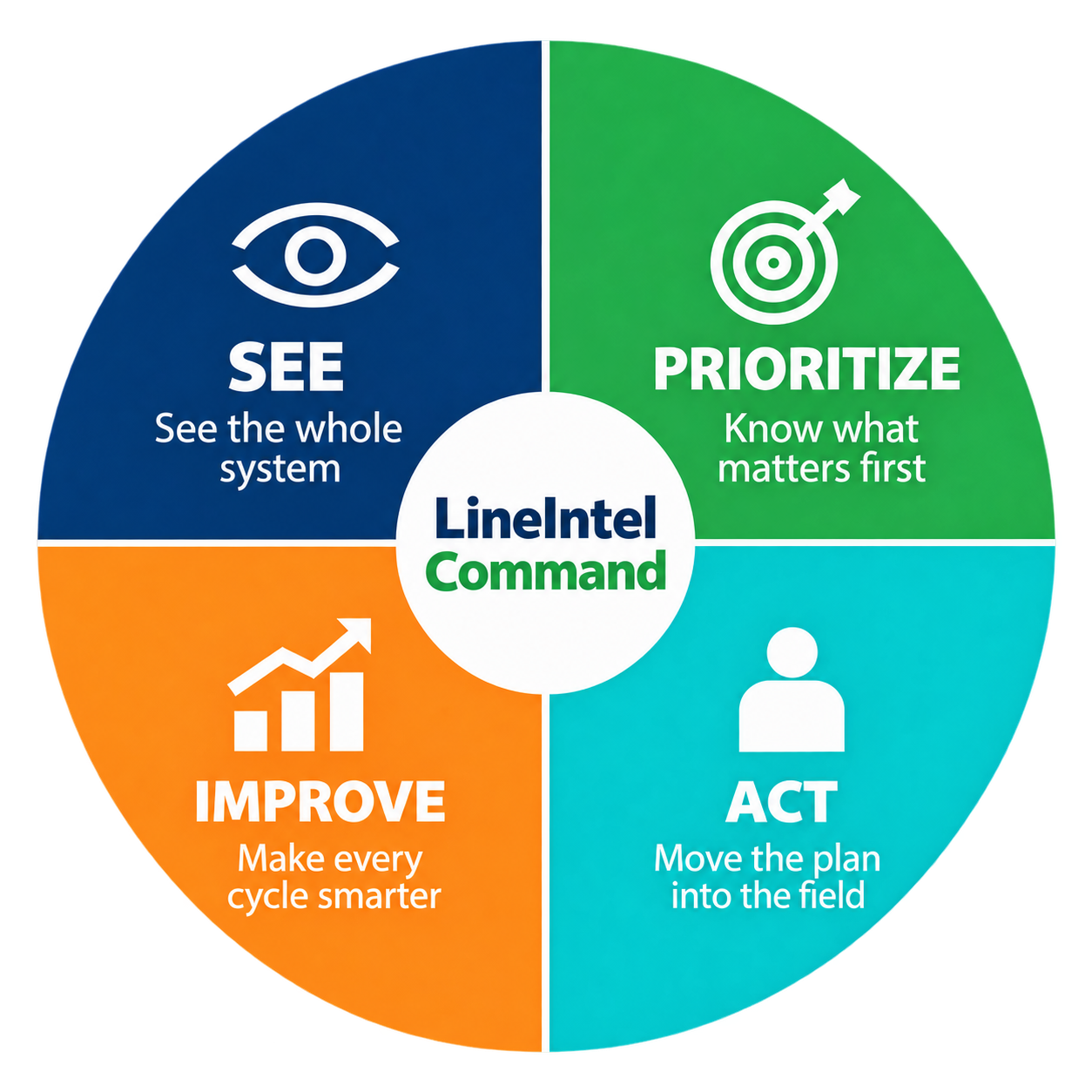
See the whole system.
Bring infrastructure data, active work and field observations into one operating view.
Know what matters first.
Focus crews, contractors and resources around actual need and system context.
Move the plan into the field.
Assign work, coordinate teams and capture status, notes and local images.
Make every cycle smarter.
Use completed work and supporting records to inform the next planning cycle.
The value comes from turning information into work—and work into a better operating record.
MOBILE FIELD EXECUTION
The system view goes
with the crew.
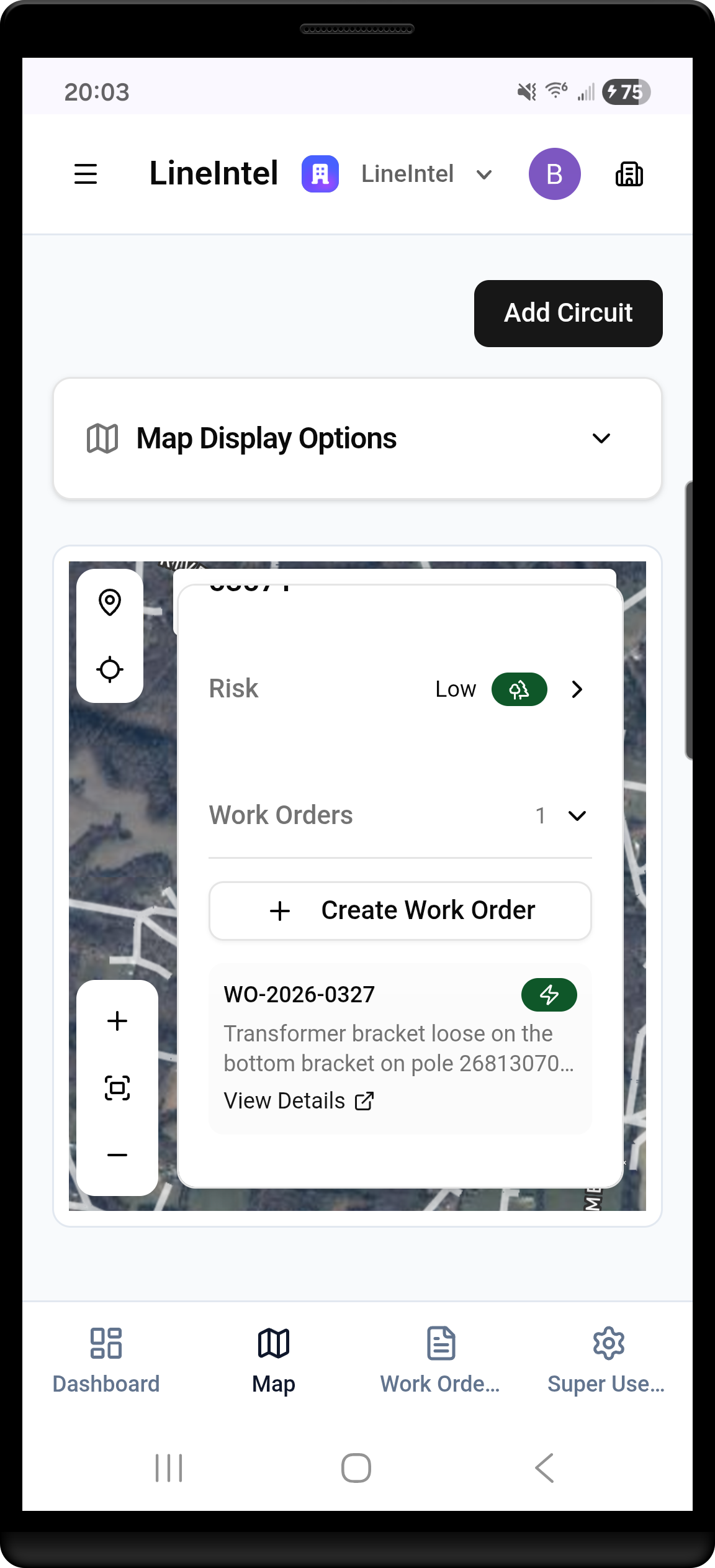
Locate the work on the mobile map, review the record at a pole or span and create follow-up work where it is needed. Local photos, notes and progress connect field observations with the office plan.
Explore mobile field execution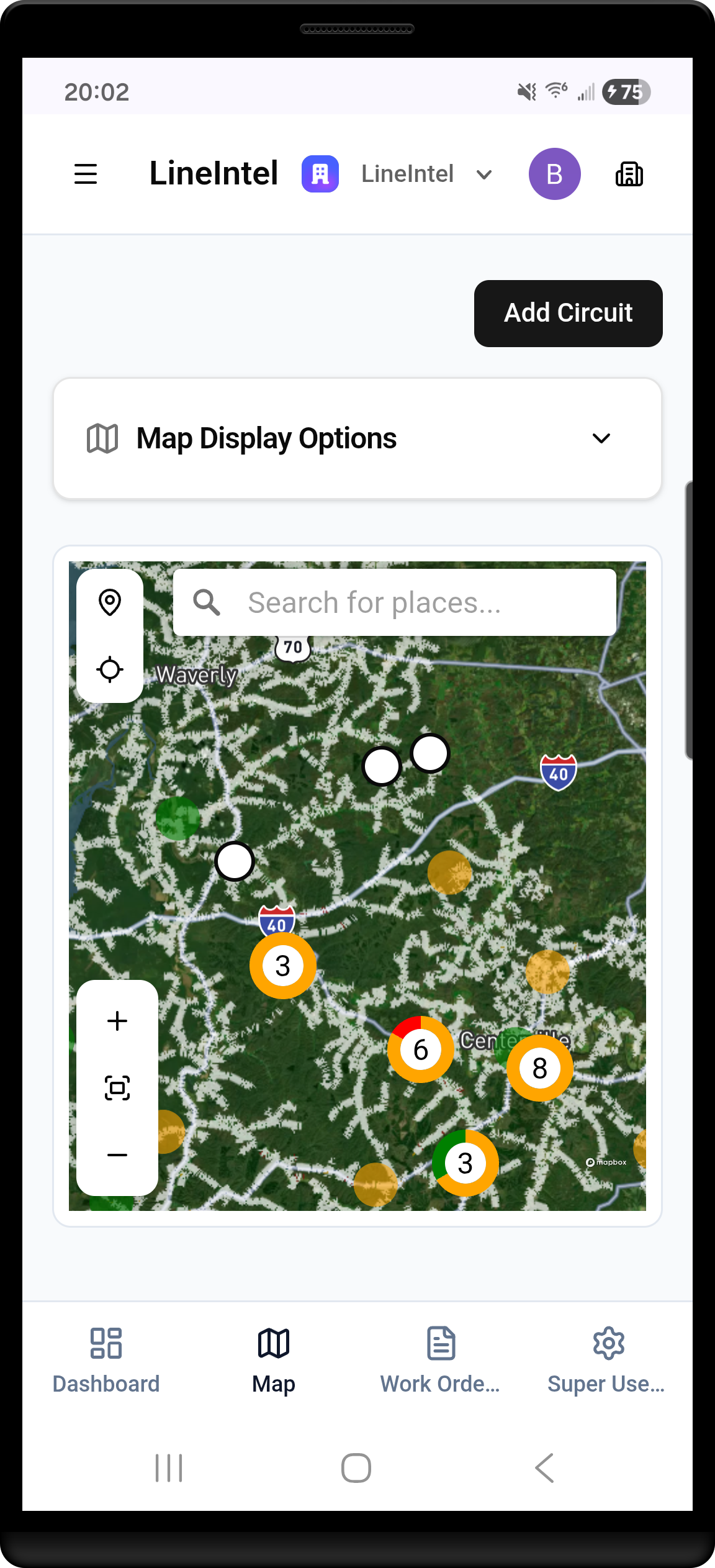
REAL-WORLD VALIDATION
Proven when operating
conditions are at their worst.
During Ice Storm Fern in 2026, Meriwether Lewis used Command to coordinate dispersed crews and verify completed work. Existing shapefiles became a common operating view in less than four hours.
The workflow continued beyond the storm, supporting ongoing vegetation work management.
Read the Meriwether Lewis story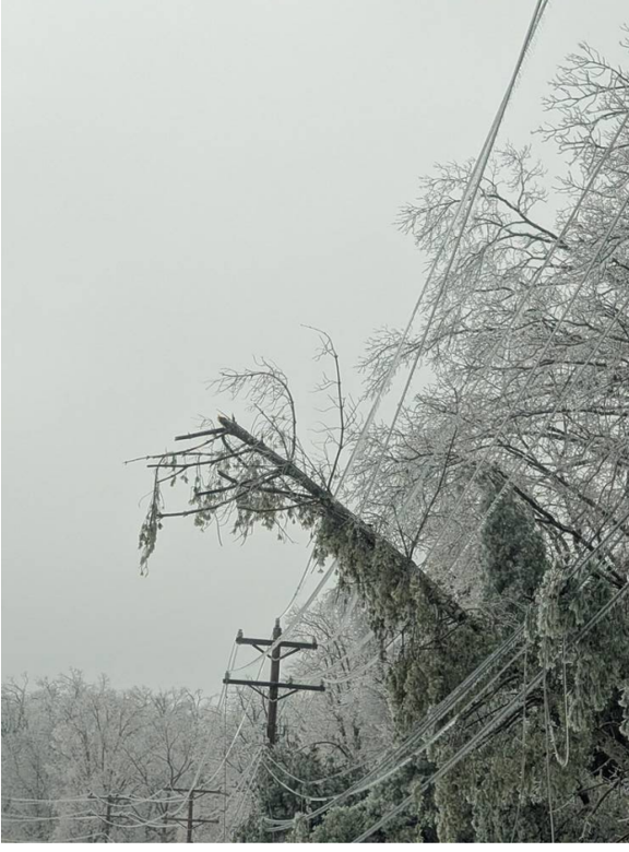
- <4 hours
- From shapefiles to operating view
- 500+
- Work orders reported
- Still in use
- For ongoing vegetation work management
TECHNOLOGY & INTELLIGENCE
Better intelligence.
The same connected workflow.
Field execution with Command is the foundation. Local crews build the record with images, notes and progress. Aerial inspection then expands your view across the network, supporting engineering assessment and vegetation management.
Explore the field-to-network storyCommand + field imaging
Existing system data
Work orders and assignments
Local photos and notes
Operating history
Aerial network context
Distribution corridor imagery
Equipment and vegetation detail
Engineering assessments
Broader work planning
LineWalker
Precision capture designed to enrich that same operating view.
In development · validation expected in 2027Explore LineWalker →Build on the workflow your team already uses as your information becomes richer.
BUILT BY OPERATORS
Real-world experience.
A different kind of team.
Utility vegetation, field operations, engineering and advanced systems experience shape how we connect the plan with the work.
Meet our teamUtility operations
Utility vegetation management and right-of-way field experience.
Aerial & autonomous systems
Aviation, electrical engineering and advanced systems development.
Field & data operations
Practical workflows connecting local observations with utility work.
Program leadership
Experience leading complex operations and technology programs.
EASY TO START
Start with the system
you already manage.
Use your existing infrastructure information and operating knowledge to choose a practical starting workflow. Build from there as your needs evolve.
- 1
Load your system
Bring existing shapefiles, imagery, work records and operational inputs.
- 2
Configure Command
Organize the starting area, priorities and workflow with the LineIntel team.
- 3
Put it to work
Connect crews, capture field updates and review progress and supporting records.
WHY LINEINTEL
Better visibility. Clearer priorities.
Connected execution.
Make more of the crews, equipment and infrastructure you already manage—with an operating record that grows more useful over time.